
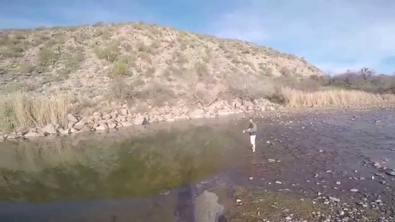
Check out the Lower Salt River that is a stretch of river located just below Saguaro Lake for the only cold-water trout fishery in the U.S. that’s located in a desert that is very close to metropolitan Phoenix and Trout fishing reputation is growing quickly.
The Lower Salt River has a unique distinction of being the only cold-water trout fishery in the nation located that is located in the Arizona desert.
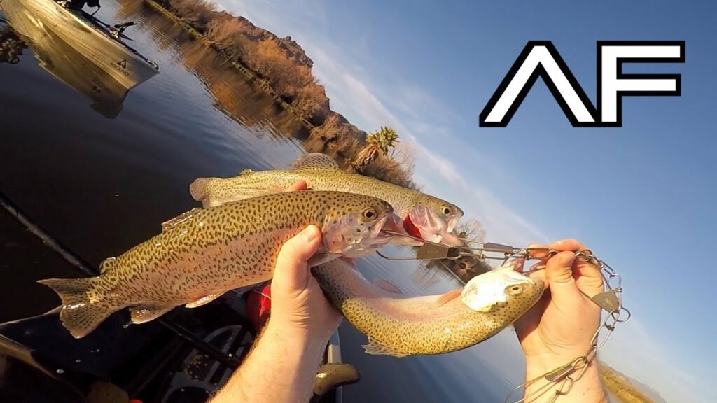
The lower Salt River contains rainbow trout, largemouth bass, sunfish, and catfish and is open for fishing year-round.
Arizona Game and Fish Department Information Officer, Rory Aikens stated the Lower Salt River "...is truly a remarkable fishery" and "have run across people who fish for trout before going to work in the morning or after getting off work in the evening."
Best Areas to Fish at Lower Salt River:
Blue Point Bridge (High water flow),
Phon D Sutton (Lower water flow and fish below where the Verde River comes in) & Water Users
Best Time To Fish:
All day
Fishing Season:
Year Round
Fishable Miles:
11mi
Elevation:
1,300ft
Fishing Stocking:
Usually starts the beginning of November each year for Rainbow Trout
Directions to Lower Salt River
The Lower Salt River is located along Bush Highway between Usery Pass on the south and Beeline Highway (State Route 87) on the north. From Phoenix, AZ take U.S. Route 60 east from Mesa, AZ and exit on Bush Highway. Travel north for 6 or 7 miles to Granite Reef Dam.
Most anglers will park and fish near the Salt Rivers paved lots. To find secluded area to fish you will need to follow the unmarked paths leading from the Bush Highway to the Salt River's.
Better yet, using a Inflatable Fishing Float Tube will certainly get you away from the crowds and in better fishing position.
Top locations to fish
- Phon D Sutton G8WR+G9, Mesa, AZ 85264
- Coon Bluff Recreation Area, Coon Bluff Rd, Mesa, AZ 85215
- Blue Point Recreation Area, Unnamed Road, Fort McDowell, AZ 85264
- Water Users Recreation Site, Tonto Basin, AZ 85553